Drone Mapping Survey
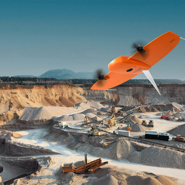
The use of unmanned aerial systems (UAS) is rapidly expanding as geospatial and construction companies learn how much easier and more cost-effective completing surveying and mapping projects can be with drones. Drones also eliminate the need for humans to physically access hard-to-reach and dangerous terrain.
UAV lidar and photogrammetry imaging applications are increasing rapidly. This is not surprising as using GPS enabled UAVs for aerial surveying is very cost effective in comparison to hiring an aircraft with photogrammetry equipment.
Because UAVs are relatively inexpensive, many organizations will have their own fleet, allowing for rapid surveys over large land areas where required.
With GPS equipped drones, digital cameras, and powerful computers, surveys with an accuracy down to 1 to 2 cm is very possible.
This post takes an overall look at this drone mapping technology. We also take a quick view of the sectors benefiting from using UAVs for photogrammetry and lidar mapping. We also look at some of the best mapping drones on the market along with the compatible software.
To create 3D maps from aerial photogrammetry, the camera is mounted on the drone and is usually pointed vertically towards the ground. Using photogrammetry to create 3D models of monuments or statues, the camera is mounted horizontally on the UAV.
Multiple overlapping photos (80 to 90% overlap) of the ground or model are taken as the UAV flies along an autonomous programmed flight path called a waypoint. To overlap photos of an object or land by 80 to 90% would be impossible to complete accurately by pilot navigation. It is essential to have a UAV which has waypoint Navigation technology.
Drone Mapping And Lidar
UAV Lidar involves mounting a laser scanner on a UAV to measure the height of points in the landscape below the UAV. Lidar actually means (Light Detection And Ranging).
Lidar scanners can capture hundreds of square kilometers in a single day. By measuring 10-80 points per square meter, a very detailed digital model of a landscape can be created.
The accuracy of the measurements allows the 3D models created to be used in any planning, design, and decision making processes across many sectors.
Lidar sensors can also pierce dense canopy and vegetation, making it possible to capture bare earth structure that satellites cannot see, as well as ground cover in enough detail to allow vegetation categorization and change monitoring.