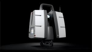
3D Laser Scanning If you’re looking to decrease your labor expenses, improve material cost estimations and save time planning your next construction project, you may want to consider using 3D laser scanning technology. Laser scanning is the newest method for building information modeling (BIM), offering an accurate, cost-effective and highly integrative means of virtually modeling... Read More3D Laser Scanning
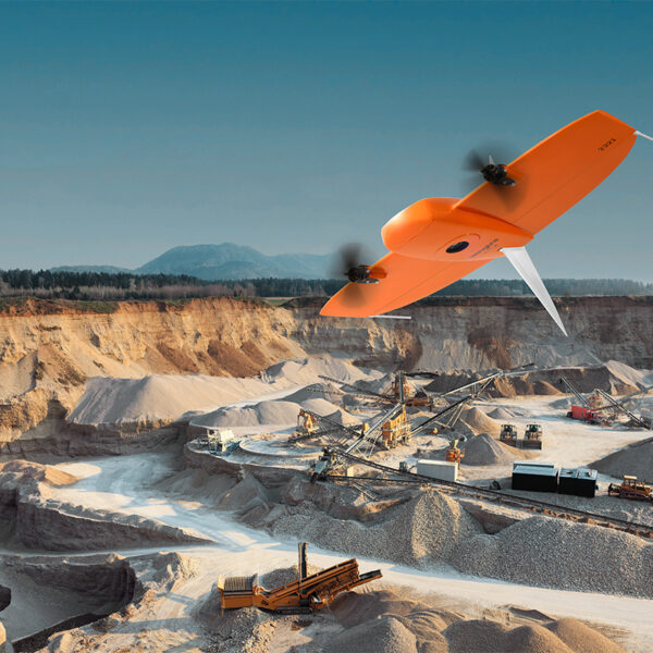
Drone Mapping Survey The use of unmanned aerial systems (UAS) is rapidly expanding as geospatial and construction companies learn how much easier and more cost-effective completing surveying and mapping projects can be with drones. Drones also eliminate the need for humans to physically access hard-to-reach and dangerous terrain. UAV lidar and photogrammetry imaging applications are increasing rapidly. This... Read MoreDrone Mapping Survey